Wildfires are unplanned, uncontrolled fires that burn in areas of combustible vegetation. In the right conditions, they can quickly become out of control making early detection, as well as ongoing monitoring and management, critical. The challenge to monitor and control wildfires is increased if they are located in rural or remote areas, which can often be difficult to access with traditional monitoring methods. This is where satellites can help.
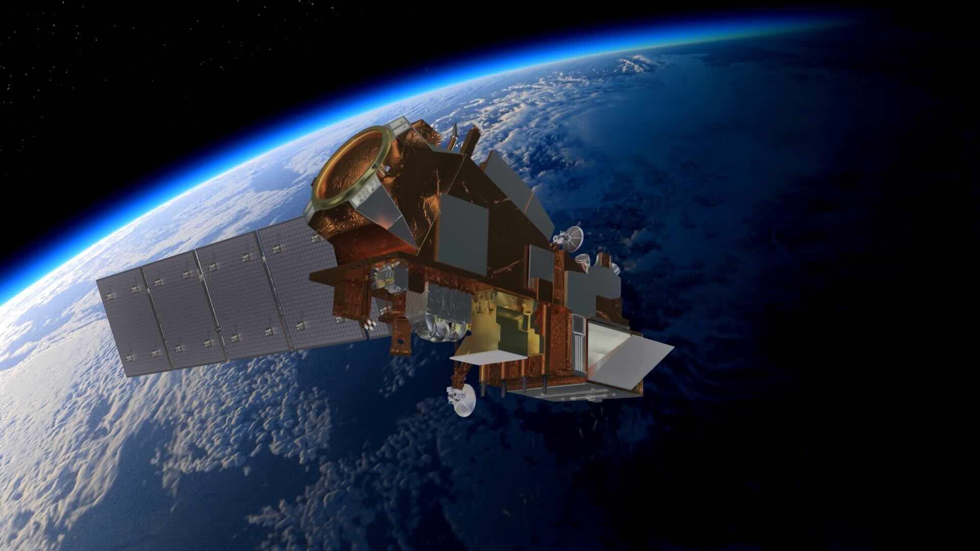
Due to their global coverage, satellites can provide critical information about active fires to disaster management agencies, to help identify new active fires and understand a fire's size and behaviour, including the rate of spread and intensity. Active fire information can also be used to better forecast regional air quality, and to enhance carbon accounting. Sensors which image in the short-wave (around 2.2µm) and mid-wave (around 3.7µm) infrared bands are widely used for active fire monitoring.
As wildfires can quickly change, rapid and frequent data is needed to provide the most relevant, up to date information to end users, including to support operational fire response teams. No single satellite can (currently) provide this information alone, and hence coordination amongst satellite providers is necessary to ensure comprehensive, global coverage.
In June 2025, members of the G7, alongside "non-enumerated member" European Union and non-member leaders from Australia, India, Mexico, South Korea, and South Africa, signed the Kananaskis Wildfire Charter, to:
In response to this Charter, the Canadian Space Agency (CSA) and Natural Resources Canada (NRCan) led the establishment of an International EO Wildfire Coordination Group within CEOS. This group, a subgroup of the Land Surface Imaging Virtual Constellation (LSI-VC), provides a venue to help coordinate public and non-public, current and planned, wildfire EO missions and provide documented feedback with input from the Global Observations of Forest Cover and Land-use Dynamics (GOFC-GOLD) Fire Science Team.
This Portal was developed to support these objectives, and provide a comprehensive and up-to-date list of all current and planned satellite missions with the potential to monitor active wildfires. The work is built on WGDisaster's Wildfire Pilot I.
While satellite data can also support other stages within the fire cycle (for example, fuel load mapping before fires occur, burnt area mapping after fires are extinguished), this Portal focuses specifically on satellites with the capability to monitor active wildfires. This is the area in which coordination is most needed, and the capable sensors are most limited.
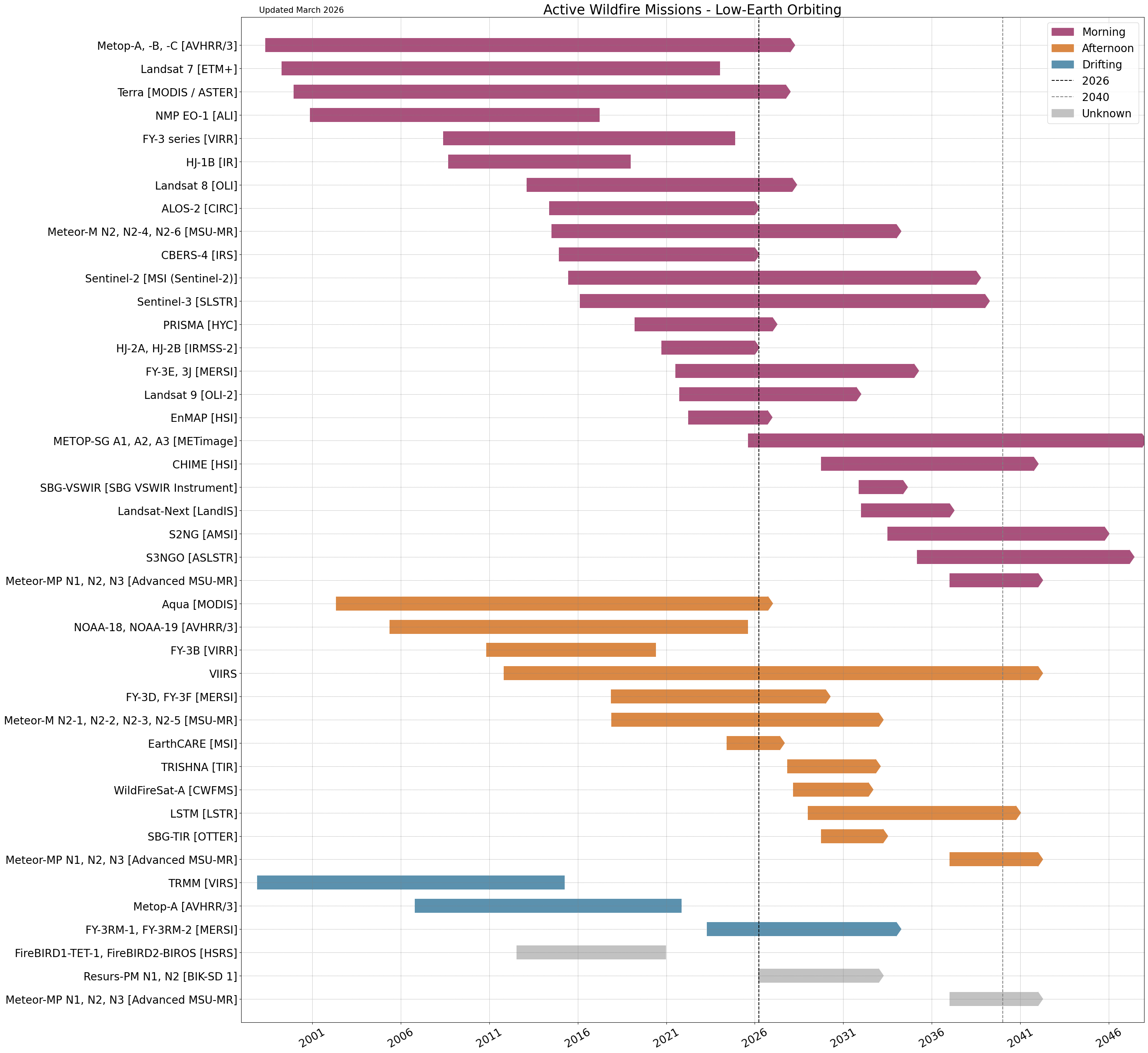
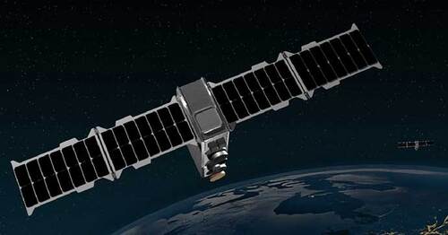
Satellites in Low Earth Orbit (LEO) are able to provide high spatial resolution data, but at the cost of revisit time. A single satellite may only image over the same area every 5-10 days. With a constellation of satellites, revisit time may be reduced to sub-daily, however this is not frequent enough to monitor the rapid changes in fire fronts that can occur over the course of minutes.
For consistent monitoring, LEO satellites are often placed in Sun-Synchronous Orbit (SSO), from which the same location is revisited at approximately the same time of day. These can hence be grouped by their Local Solar Time (LST), and below missions are categorised as either having either a 'Morning' orbit, or an 'Afternoon' orbit. Non-SSO LEO satellites are classed as 'Drifting'.
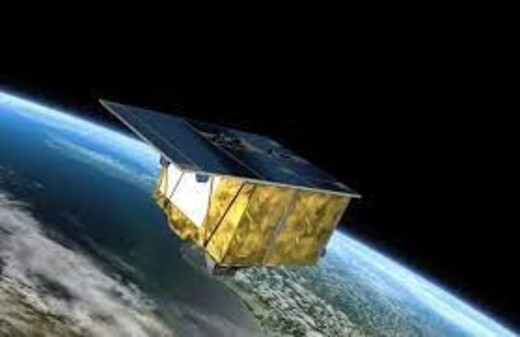
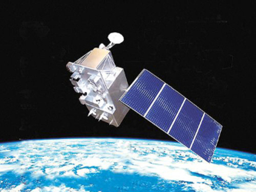
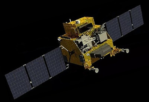
ALOS-2 carries the Compact InfraRed Camera (CIRC) instrument, which uses thermal imaging to detect and monitor wildfires. More...
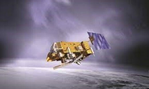
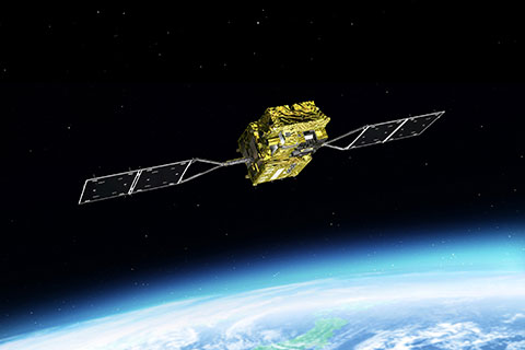
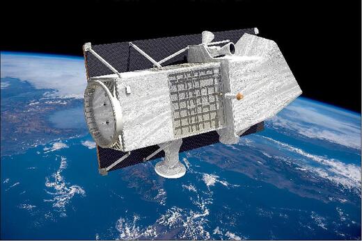
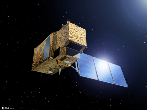
Terra carries the ASTER sensor, a high-resolution multispectral and thermal infrared imager used to detect fire hotspots, map burned areas, and assess surface temperature and emissivity. Although its SWIR detectors are no longer functional due to anomalously high temperatures, ASTER still provides valuable thermal and surface observations for wildfire monitoring, stereoscopic topography, and local surface mapping. More...
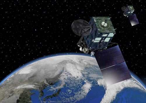
MetOp and NOAA series satellites carry the AVHRR/3 sensor, a six-band visible and infrared radiometer that captures thermal and multispectral imagery to detect active fire hotspots and monitor land surface heat and burned areas. More...
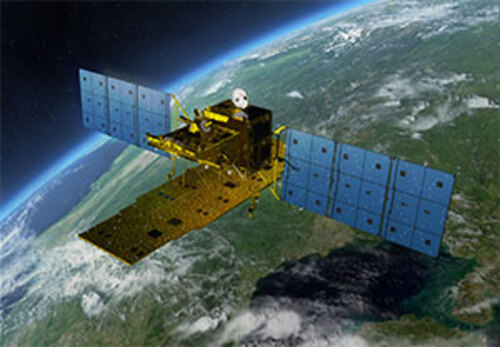
The Infrared System (IRS) instrument in CBERS-4 is a multi-spectral camera that captures thermal, near-infrared, and short-wave infrared images, useful for wildfire detection and mapping burned areas. More...
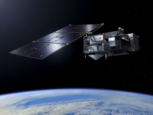
EarthCARE carries the Multi-Spectral Imager (MSI) among other atmospheric profiling sensors, which includes thermal bands that help characterise surface and fire-affected areas. More...
EarthDaily operates a 10-satellite constellation, with each satellite equipped with a 22-band multispectral imager, including 6 SWIR and 4 TIR bands. More...
EnMAP carries a Hyperspectral Imager that captures detailed surface reflectance data, allowing identification of burned areas and vegetation stress after wildfires. More...
The Hot Spot Recognition System (HSRS) developed for FireBIRD1-TET-1 and FireBIRD2-BIROS was designed specifically to detect active fire hotspots and thermal anomalies. More...
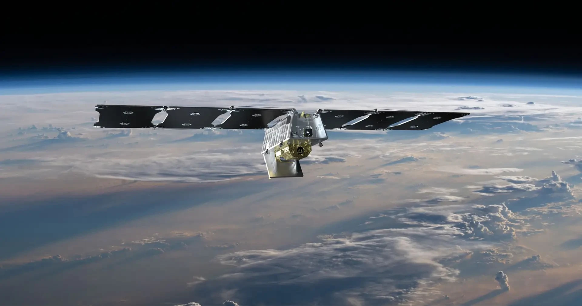
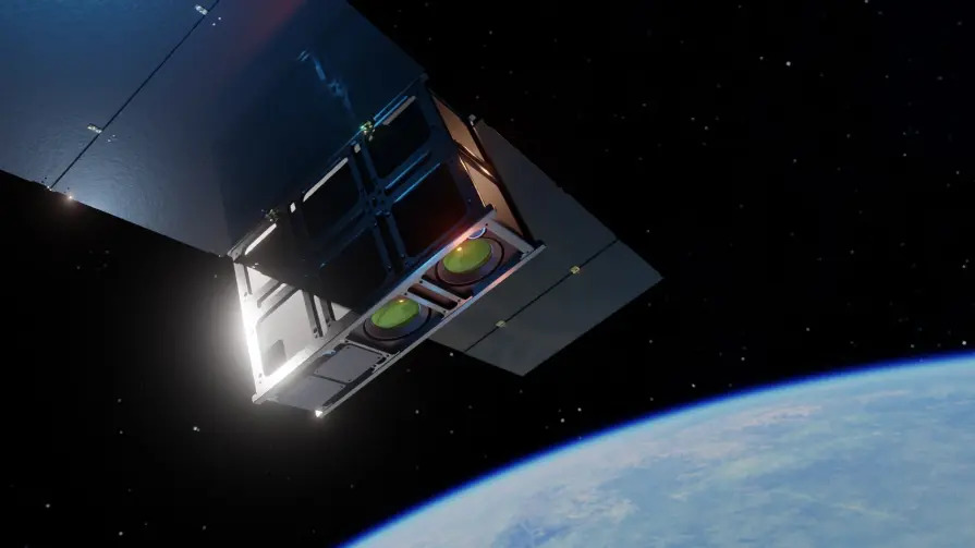
Earth Fire Alliance is developing a constellation of 50+ platforms, to provide a consistent, accurate, and comprehensive view of activity for every wildfire on Earth. More...
The FY-3 series (FY-3D, FY-3E, FY-3F, FY-3H, FY-3I, FY-3RM-1/FY-3G, FY-3RM-2/FY-3J) carries the Medium Resolution Spectral Imager (MERSI), which detects fire hotspots and monitors surface heat and burned areas using multispectral and thermal imaging. More...
The FY-3 series (FY-3A, FY-3B, FY-3C) carries the Visible and Infrared Radiometer (VIRR), which detects fire hotspots and monitors surface heat and burned areas using thermal and multispectral imaging. More...
The SGLI instrument onboard GCOM-C is an optical sensor capable of multi-channel nadir observations in SWIR and TIR wavelengths, enabling observations of fire radiative power. More...
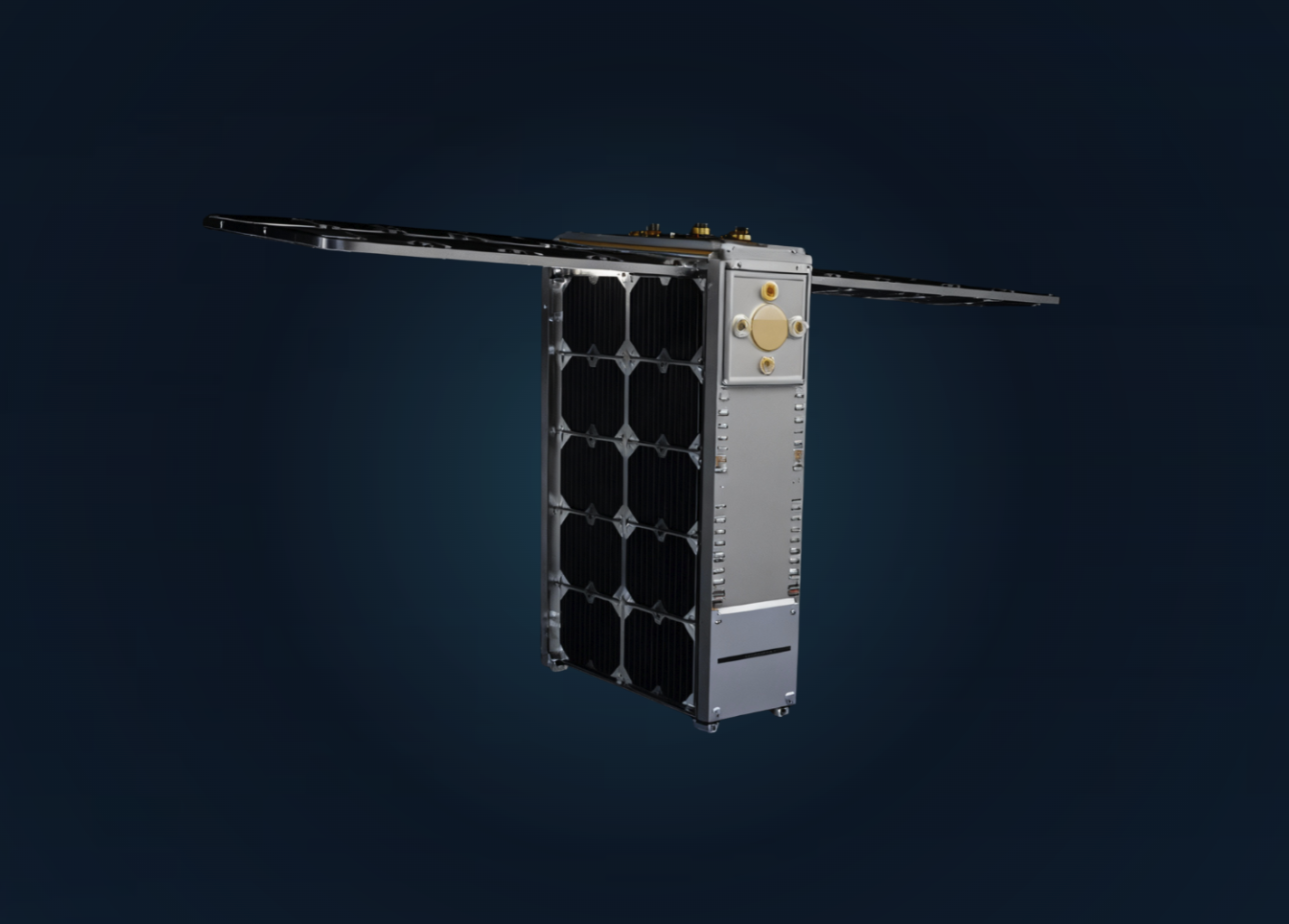
The HiVE Constellation developed by constellr provides thermal imaging for activity, stress, anomalies, change over time. The satellites carry both Thermal and SWIR imagers. More...
HJ-1B carried the Infrared (IR) sensor, which captured thermal and infrared imagery to detect fire hotspots and monitor heat signatures. More...
HJ-2A and HJ-2B carry the Infrared Multispectral Scanner-2 (IRMSS-2), a push-broom multispectral radiometer that captures thermal and infrared bands useful for environment and disaster monitoring. More...
Hydra Constellation will consist of 48 satellites, designed to deliver high-resolution thermal imagery, continuous, detailed thermal visuals to help assess complex risks and support asset stability. More...
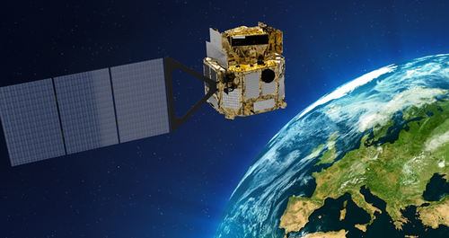
Landsat 7, Landsat 8 and Landsat 9 carry the Enhanced Thematic Mapper Plus (ETM+), Operational Land Imager (OLI) and OLI-2 sensors respectively, which capture high-resolution multispectral and thermal imagery useful for mapping burned areas and assessing fire-affected landscapes. More...
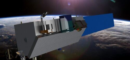
Landsat 10 is planned to carry the LandIS sensor suite, a high-resolution multispectral and thermal radiometer with extended visible, short-wave infrared and thermal bands that will support active fire detection and monitoring by capturing detailed surface radiance and heat signatures. More...
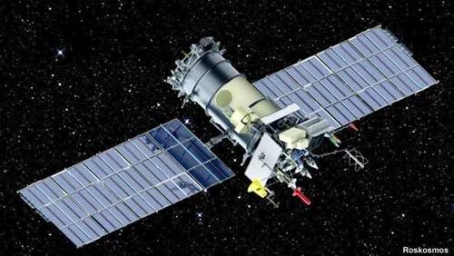
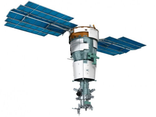
Meteor-M N2 carries the MSU-MR multispectral scanning radiometer, which captures thermal and visible bands that can support wildfire detection and monitoring by observing heat signatures and surface conditions. More...
Meteor-MP is a future mission carrying the Advanced Multispectral scanning imager-radiometer (MSU-MR), which will observe thermal and visible bands to support active fire detection and burned area monitoring. More...
MetOp-SG A-series satellites carry the METimage sensor, a multispectral visible/infrared imager with 20 channels that captures thermal and land surface data useful for detecting fire activity and supporting wildfire monitoring. More...
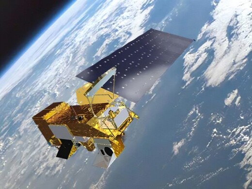
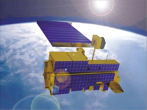
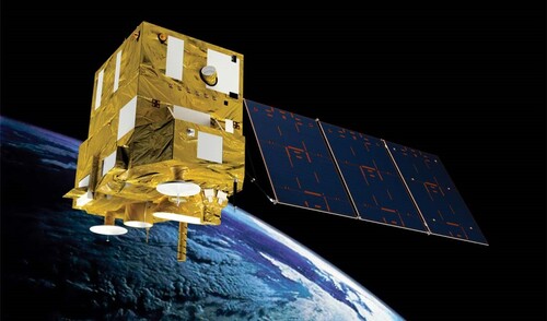
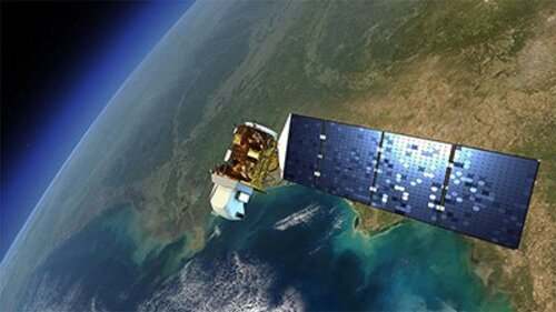
The MODIS instrument on Aqua and Terra uses thermal imaging and multispectral data to monitor wildfires and land surface changes. More...
EO-1 carried the Advanced Land Imager (ALI), a multispectral radiometer that captured visible, near-infrared and short-wave infrared imagery useful for detecting burned areas and supporting wildfire monitoring. More...
The OroraTech Constellation provides continuous thermal infrared imaging of global fire activity, supporting disaster response. More...
PRISMA carries the HYperspectral Camera (HYC), which captures detailed visible to shortwave infrared data that can support wildfire mapping by characterising burned areas and vegetation stress. More...
Resurs-PM will carry the BIK-SD 1 high resolution wide capture multispectral infrared optical sensor to capture thermal and SWIR imagery for wildfire detection and burned area monitoring. The sensor will simultaneously image targets across multiple thermal bands, enabling detection of land-based subsurface-based, and space-based objects. More...
SatVu's mid-wave infrared imaging constellation provides brightness temperature products, to measure heat emissions of structures on Earth's surface. More...
SBG-TIR will carry the Orbiting Terrestrial Thermal Emission Radiometer (OTTER), a thermal multispectral radiometer in development that captures MIR and TIR imagery to support wildfire detection and monitoring. More...
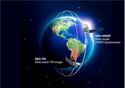
SBG-VSWIR will carry the SBG-VSWIR sensor, a visible and shortwave infrared imager that captures detailed spectral data to support wildfire monitoring and burned area assessment. More...
Sentinel CHIME will carry the Hyperspectral Imager (HSI), a high-resolution push-broom hyperspectral imager that captures detailed visible to shortwave infrared data to support wildfire mapping, vegetation and burned area assessment. More...
Sentinel LSTM will carry the Land Surface Temperature Radiometer (LSTM) sensor, a visible, shortwave, and thermal infrared radiometer that will capture detailed land surface temperature data to support wildfire detection and monitoring by observing thermal features and high-temperature events. More...
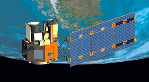
Sentinel-2 carries the MultiSpectral Instrument (MSI), a high-resolution visible and shortwave infrared imager that captures imagery useful for mapping burned areas and assessing vegetation changes after wildfires. More...
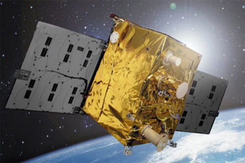
Sentinel-3 carries the Sea and Land Surface Temperature Radiometer (SLSTR) sensor, a multi-spectral visible, SWIR and thermal radiometer that captures thermal and active fire data to detect fire hotspots and monitor wildfire activity. More...
TRISHNA will carry the Thermal InfraRed (TIR) sensor, a high-resolution thermal infrared imager with multiple thermal bands that will capture surface temperature data useful for detecting fire hotspots and supporting wildfire monitoring. More...
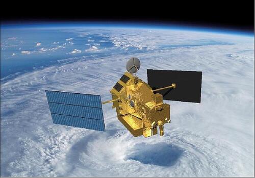
The Tropical Rainfall Measuring Mission (TRMM) carried the Visible and Infrared Scanner (VIRS), a multispectral radiometer that enabled observations of cloud properties and thermal anomalies, which could be used to identify active fires and related features. More...

Hydrosat's constellation provides high-resolution LWIR imagery, supporting agriculture, water management, and national security. More...
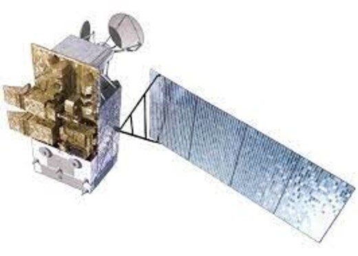
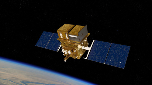
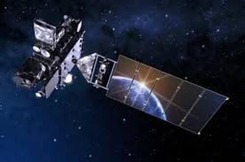
The VIIRS sensor on Suomi NPP and JPSS detects fire hotspots and monitors burned areas using thermal and multispectral observations. More...
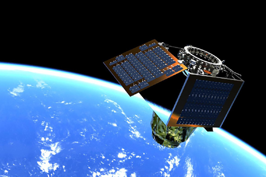
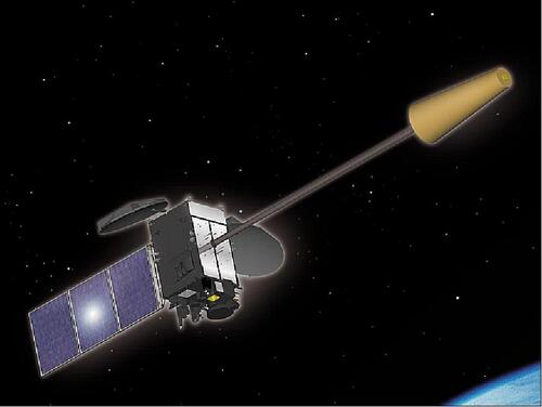
WildFireSat will carry the CWFMS sensor, which will measure Fire Radiative Power (FRP), hotspot locations, rate of spread, and burned area, generating fire maps, fire characteristics, plume dynamics, and estimates of carbon released into the atmosphere. More...
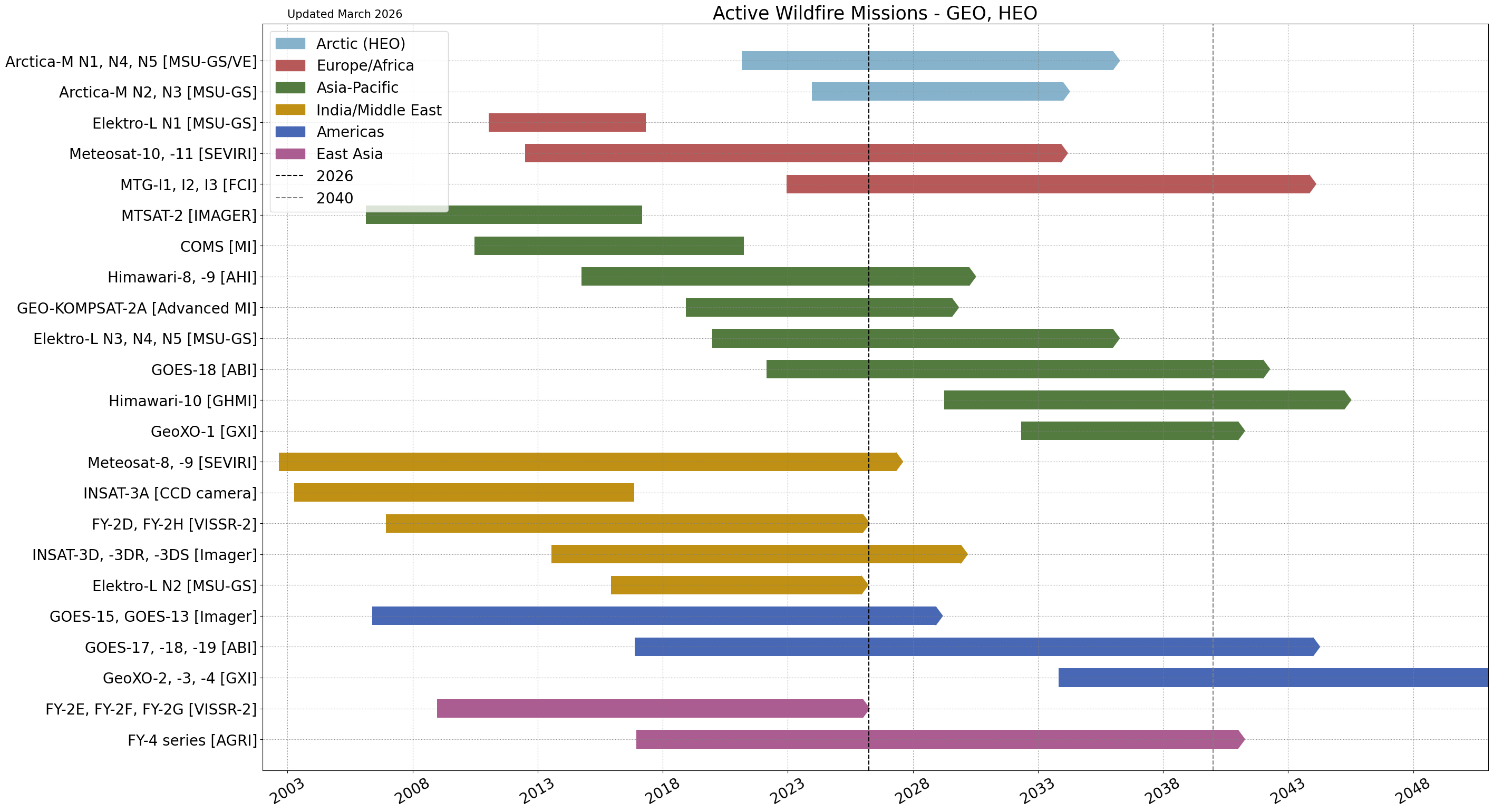
Satellites in Geostationary Orbit (GEO) remain fixed relative to a point on the Earth's surface, allowing them to provide very frequent observations (often every 10-15 minutes). To achieve this, they must be stationed at an altitude of around 36,000 km and thus provide data with coarser spatial resolution. They are useful for understanding the broad picture of how a fire front is moving, and detecting new fires, but are less able to detect smaller fires. Geostationary Orbits can be grouped by the region they orbit above. However, GEO satellites must orbit above the equator, and hence cannot image are of limited use at high latitudes, making them much more suitable for active fire monitoring and detection in the tropics and subtropics than in, for example, boreal regions. Highly Elliptic Orbits can instead be used to provide frequent monitoring of high latitude regions.
The Arctica-M series carries the MSU-GS/VE instrument, a multispectral scanning imager-radiometer that detects thermal and multispectral signatures. More...
COMS carried the Meteorological Imager (MI) with thermal infrared channels that detected fire hotspots and large-scale heat and smoke signatures. More...
The Elektro-L series carries the MSU-GS instruments, which use thermal imaging to detect heat anomalies, including wildfires. More...
The FY-2 series (FY-2D to FY-2H) carries the Stretched Visible and Infrared Spin Scan Radiometer-2 (VISSR-2), which detects detect fire hotspots and monitor heat signatures with frequent geostationary coverage. More...
The FY-4 series (FY-4A to FY-4G) carries the Advanced Geostationary Radiation Imager (AGRI), which provides frequent thermal observations to track active wildfires and assess their intensity. More...
GEO-KOMPSAT-2A carries the Advanced Meteorological Imager (AMI), which captures thermal and visible imagery to detect fire hotspots and monitor wildfire activity across its coverage area. More...

GeoXO is planned to carry the GeoXO Imager, with high-temporal wildfire detection capability, tracking fire hotspots and smoke plumes from geostationary orbit. More...
GOES-13 and GOES-15 carry the Imager sensor, which captures thermal and visible imagery to detect fire hotspots and monitor wildfire activity in near real-time. More...
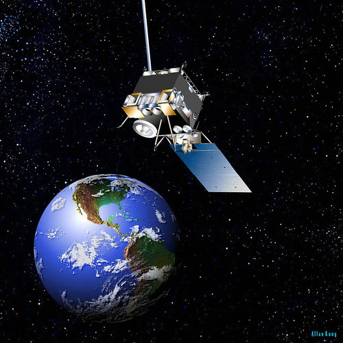
The GOES-R Series carries the Advanced Baseline Imager (ABI) sensor, a 16-band visible/infrared radiometer that detects surface and atmospheric heat signatures, including fire temperature and smoke, supporting wildfire detection and monitoring. More...
Himawari-8 and Himawari-9 carry the Advanced Himawari Imager (AHI) to capture thermal and multispectral imagery to detect fire hotspots and monitor wildfire activity. More...
The next-generation Himawari mission carries the Geostationary Himawari Imager (GHMI), continuing the observations from Himawari-8 and -9. More...
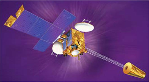
INSAT-3A carried the Charge Coupled Device (CCD) camera, which captured visible, NIR, and SWIR imagery useful for identifying burned areas and heat anomalies. More...
INSAT-3D, INSAT-3DR and INSAT-3DS carry a multi-spectral visible and infrared radiometer that captures thermal and shortwave infrared bands useful for detecting fire hotspots and monitoring heat and smoke signatures from geostationary orbit. More...
Meteosat-SG carries the Spinning Enhanced Visible and Infra-Red Imager (SEVIRI), a multi-spectral visible and infrared radiometer that provides frequent thermal and spectral observations to support wildfire detection and monitoring from geostationary orbit. More...
MTG-I carries the Flexible Combined Imager (FCI), which captures thermal and multispectral imagery for detecting active fire hotspots and monitoring wildfire activity. More...
MTSAT-2 carried the Imager sensor, a multispectral visible and infrared radiometer that captured thermal data useful for detecting fire hotspots and monitoring wildfire activity. More...