CEOS DATABASE ESA EARTH OBSERVATION THIRD PARTY MISSIONS PORTAL
Current and Heritage Missions
Updated March 2025
ESA Third Party Mission Programme
In addition to providing users with data from its own Earth observing (EO) satellites, the European Space Agency (ESA) has long provided users with access to a number of non-ESA EO missions - so called Third Party Missions (TPM).ESA's TPM scheme has operated for more than 40 years, providing EO data to users in Europe and around the world, and currently includes over 60 instruments on more than 50 missions. This reflects the needs of the majority of users who rely on a combination of EO data, both to increase sustainability of their services and to complement the range of observation parameters. ESA TPMs include missions still in operation as well as historical datasets (e.g., only archived data are available).
For these ESA Third Party Missions, the CEOS Database Mission and Instrument records include links to ESA TPM resources and data access. A mission timeline is also maintained to chart the availability of data for past decades and the future.
ESA Earth Online
Earth Online presents news and information on European Space Agency activities in the field of Earth observation. The website offers information about ESA's EO missions, instruments, and data products. Visit...
ESA TPM Data Access Guide
This document helps users identify the various types of data that are available from these missions, the kinds of applications that the data may be used for, and, importantly, the practical procedures required for access, including registration, search, selection and retrieval of the data of interest. Read...
ESA TPM Timelines
This page presents a timeline of all current and heritage missions that are part of the ESA Third Party Missions (TPM) programme. Data from the CEOS Missions, Instruments and Measurements (MIM) Database is used to plot the timeline. More...ESA Third Party Missions
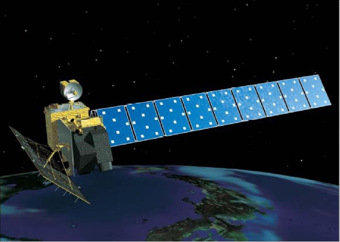
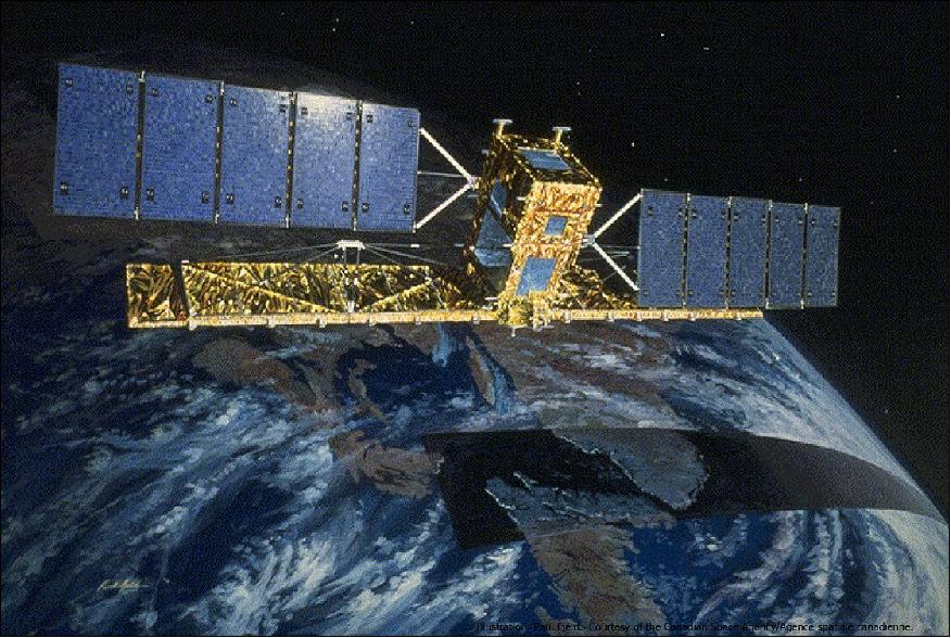
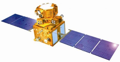
ALOS
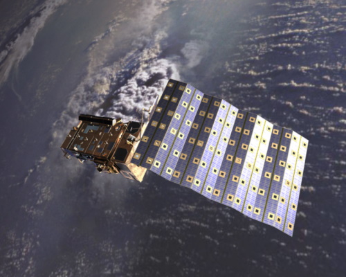
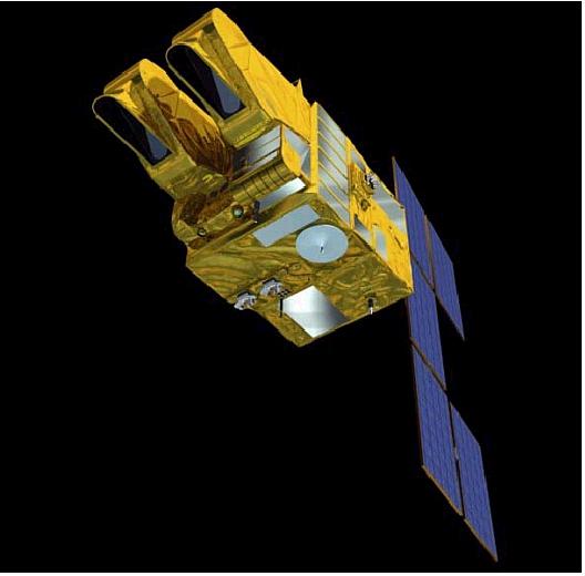
ALOS was developed by JAXA. Its applications included cartography, disaster observation and resource surveying. More...
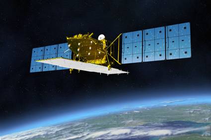
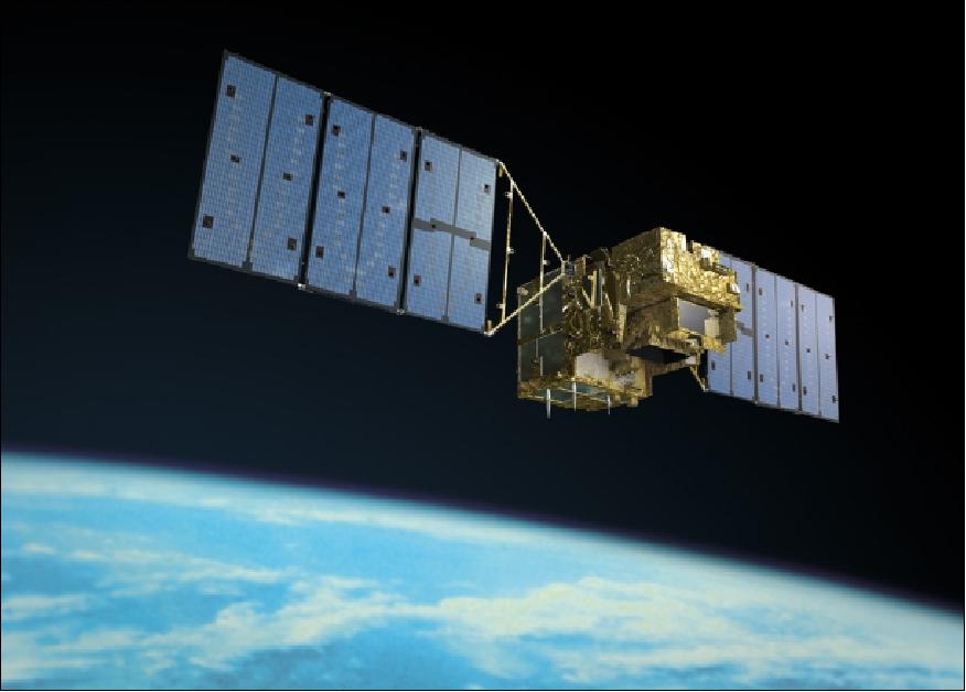
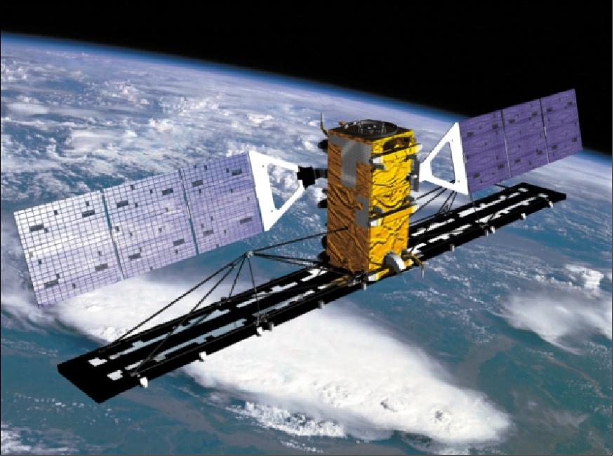
ALOS-2
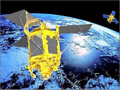
ALOS-2 provides continuity to JAXA's ALOS satellite with enhanced L-band SAR capabilities. More...
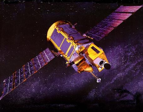
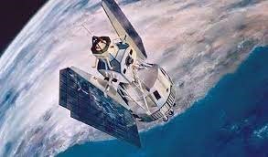
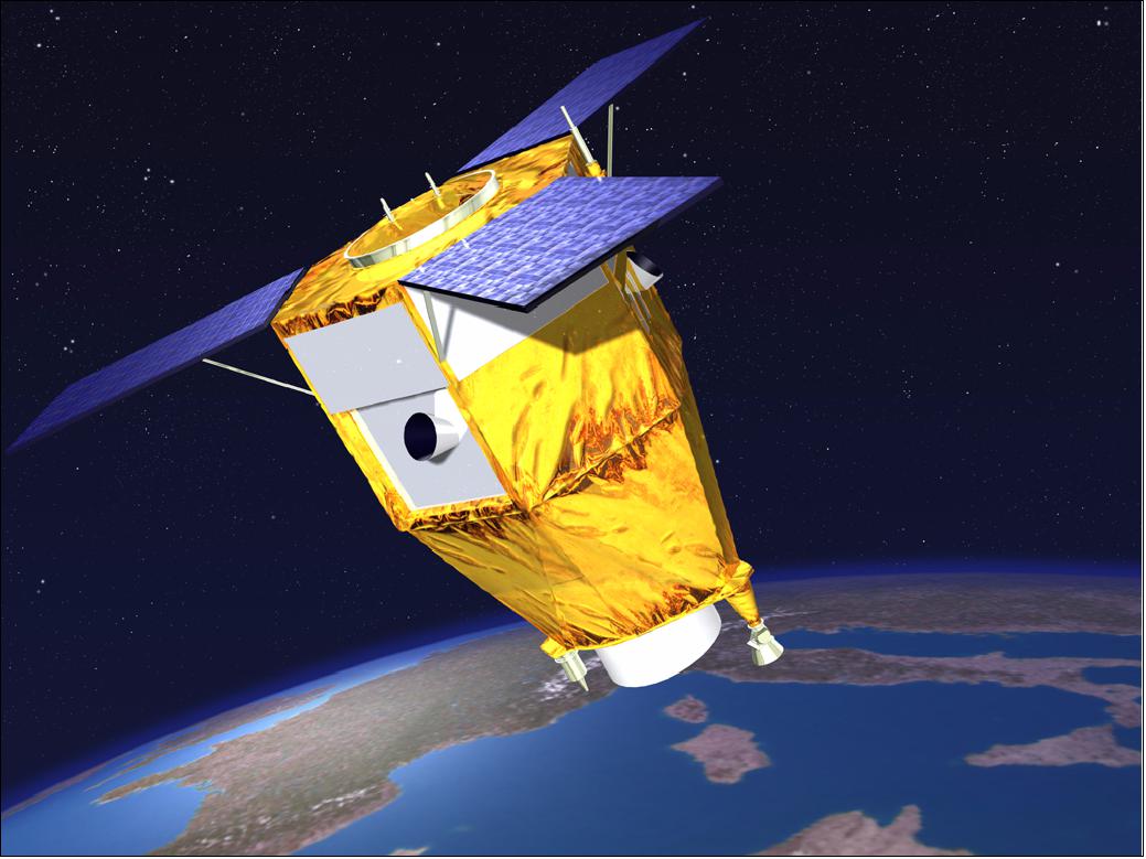
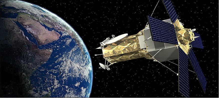
Aura
Aura is an atmospheric chemistry mission of NASA. It has the overall objective to study the chemistry and dynamics of Earth's atmosphere from the ground through the mesosphere. More...
Cartosat-1
Cartosat-1 (also known as IRS-P5) was operated by the Indian Space Research Organisation (ISRO). Its applications focused primarily on mapping India. More...
COSMO-SkyMed
COSMO-SkyMed is a four-spacecraft constellation of Agenzia Spaziale Italiana (ASI). It provides SAR data for various military and civil applications. More...
COSMO-SkyMed Second Generation
COSMO-SkyMed Second Generation (CSG) provides continuity with the first generation COSMO-SkyMed (CSK) satellites. More...
DMC First Generation
DMC was a constellation of microsatellites formerly coordinated by DMCii with the objective of providing frequent observations of Earth for disaster monitoring. More...
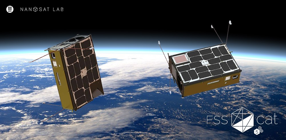
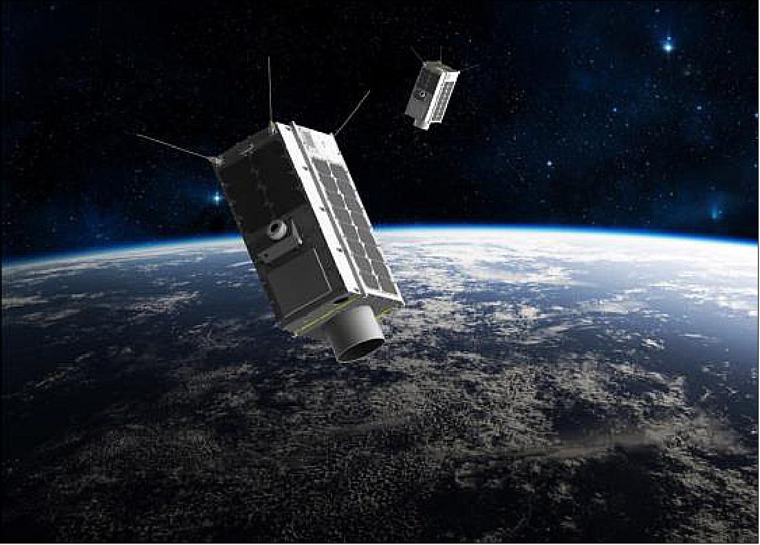
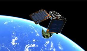
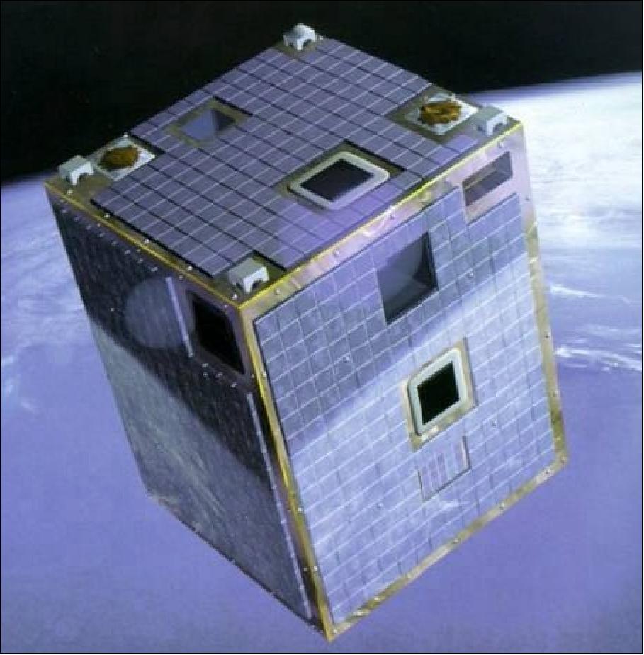
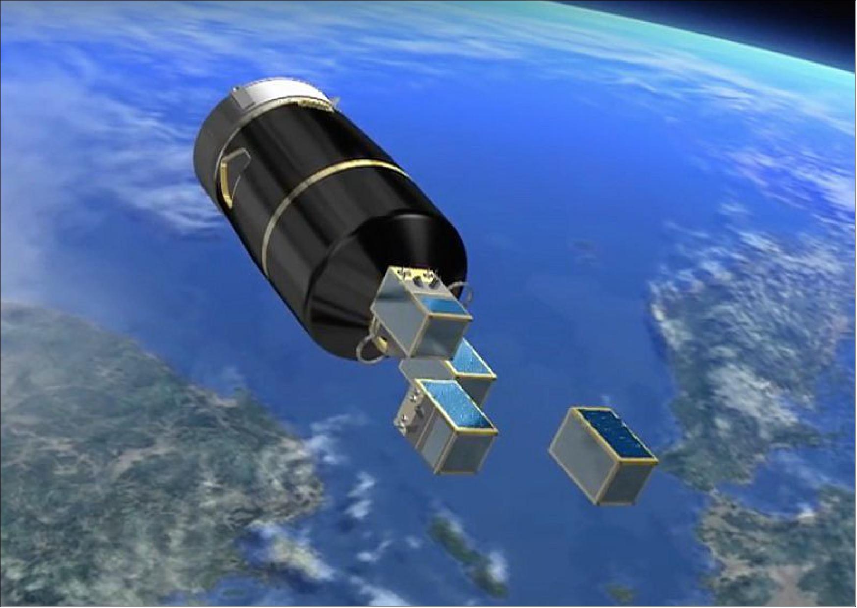
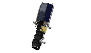
FSSCat
The FSSCat mission consisted of two federated 6U CubeSats, which operated in support of the Copernicus Land and Marine Environment Services. The FSSCat collection provides hyperspectral data coverage over a number of locations around the world, measured by the HyperScout 2 sensor. More...
GeoEye-1
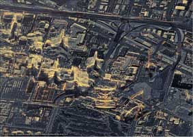
GeoEye-1 is an Earth-imaging satellite operated by Maxar Technologies of the United States of America that was designed at the time to be the world's highest-resolution commercial Earth-imaging satellite. More...
GEOSAT-1
GEOSAT-1 (formerly Deimos-1) is an Earth-imaging microsatellite operated by GEOSAT Satellites with the objective of providing a global imaging capability at medium resolution (22 m) in three spectral bands. More...
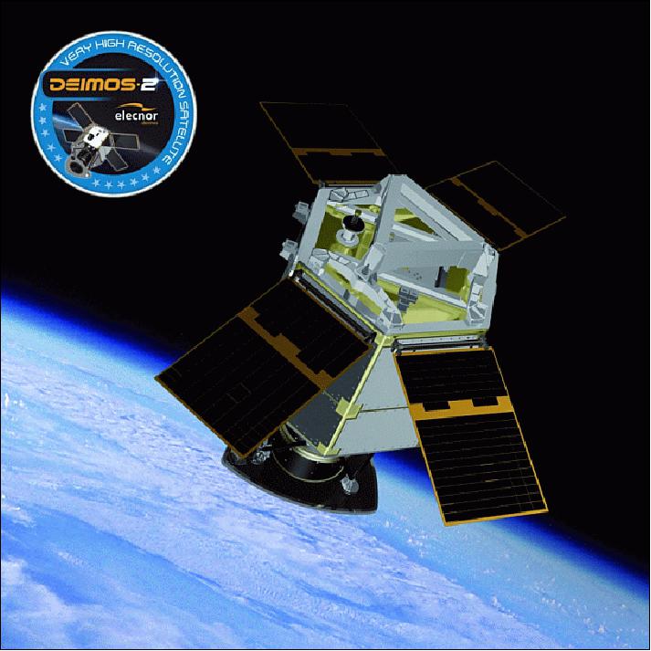
GEOSAT-2
GEOSAT-2 (formerly Deimos-2) is capable of providing sub-metric multispectral imagery with a two-day average revisit time worldwide. More...
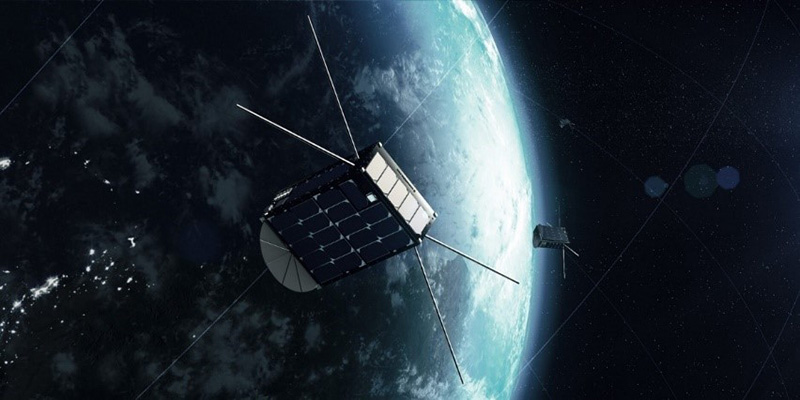
GHGSat
The GHGSat constellation aims to become a global reference for the remote sensing of greenhouse gas (GHG) emissions from any source in the world. More...
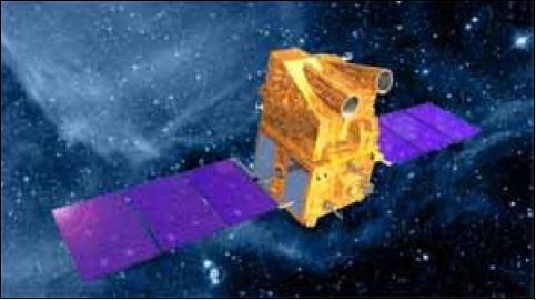
GOSAT
GOSAT is a Japanese climate change EO mission, developed by JAXA to monitor the sources and sinks of CO2 on a sub-continental scale in support of the Kyoto protocol. More...
GOSAT-2
GOSAT-2 also known as "IBUKI-2", is a JAXA satellite dedicated to observing levels of carbon dioxide, methane, ozone, water vapour in the atmosphere and also carbon monoxide and nitrogen dioxide levels. More...
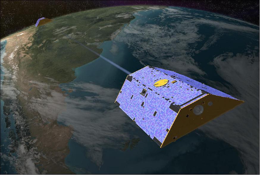
GRACE
GRACE was a joint project between NASA and DLR with the primary objective to measure the Earth's gravity field and time variability with unprecedented accuracy. More...
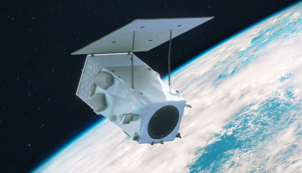
HotSat-1
HotSat-1 is a commercial satellite mission that provided high resolution thermal imagery of the Earth's surface from space. More...
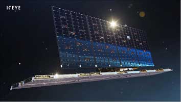
ICEYE
The ICEYE constellation consists of numerous X-band Synthetic Aperture Radar (SAR) satellites and is expected to grow to provide persistent monitoring capabilities with high rates of revisit and high resolution views of the Earth's surface. More...
Ikonos-2
Ikonos-2 was a high-resolution commercial imaging satellite operated by Maxar. More...
IRS-1C/1D
IRS-1C and IRS-1D were two identical satellites from the Indian Space Research Organisation (ISRO) which supported the national economy in the areas of agriculture, water resources, forestry and ecology, geology, water sheds, marine fisheries, coastal management, weather forecast and disaster management. More...
IRS-P3
IRS-P3 was an optical satellite mission of ISRO that made observations in support of agriculture, forestry, geology, and hydrology. More...
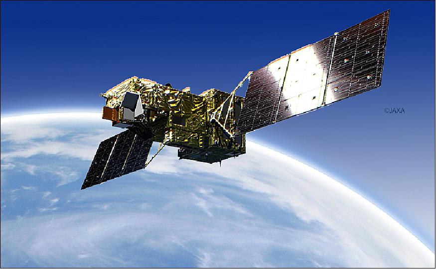
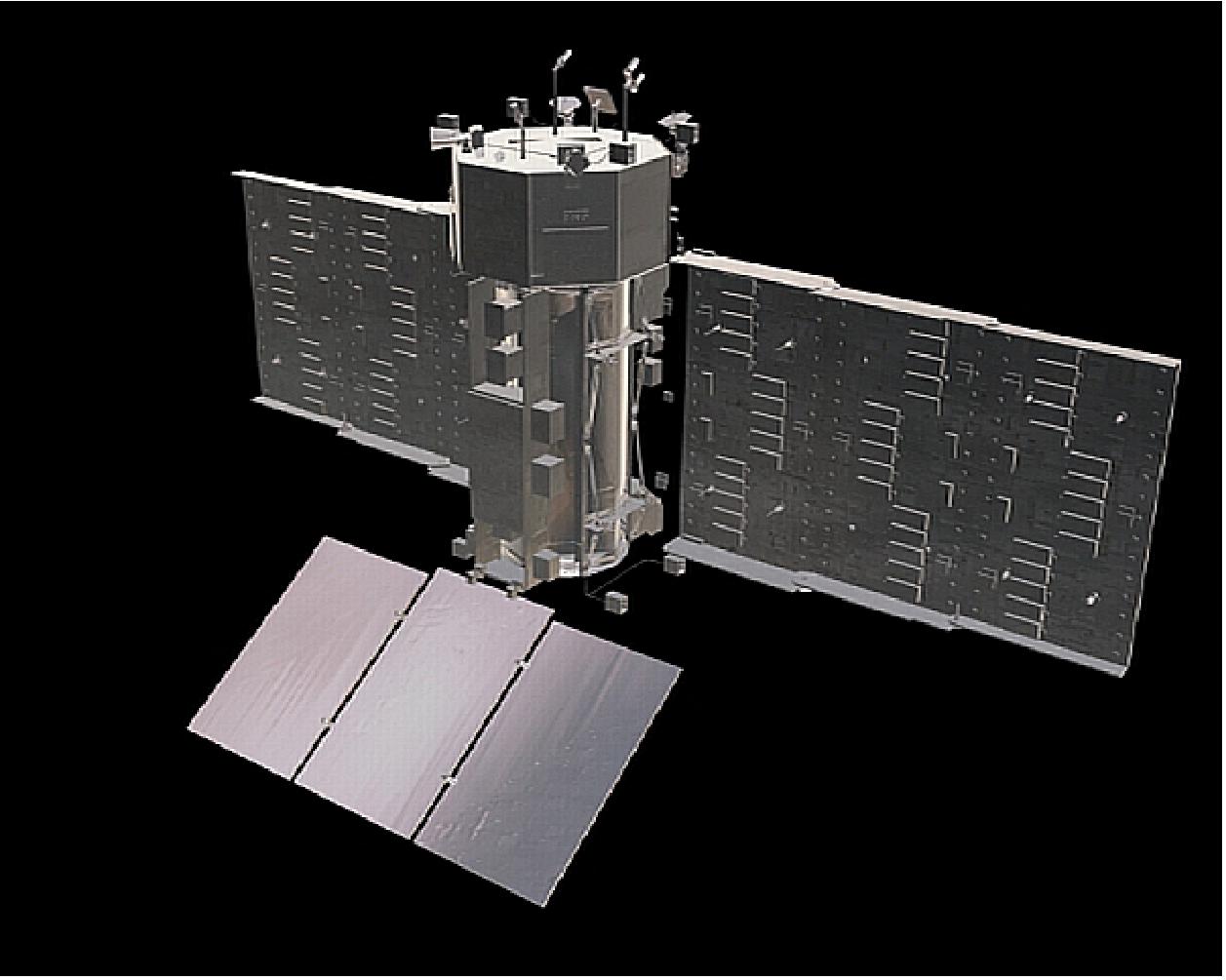
JERS-1
The JERS-1 mission led by JAXA had the overall aims of surveying resources, establishing an integrated EO system, and verifying instrument/system performances. More...
KOMPSAT-1
KOMPSAT-1, also known as Arirang-1, captured imagery of the Earth's surface to monitor environmental changes, support land management activities, and aid disaster response. More...
KOMPSAT-2
KOMPSAT-2, also referred to as Arirang-2, was developed by KARI to provide continuity from the KOMPSAT-1 mission with the main objectives of providing surveillance of large-scale disasters and supporting response. More...
Landsat 1-5 (MSS)
Since 1972, Landsat satellites have continuously acquired images of the Earth's land surface, providing uninterrupted data to help land managers and policymakers make informed decisions about natural resources and the environment. More...
Landsat 3 (RBV)
Landsat-3 was launched in 1978 and carried the Return Beam Vidicon (RBV) instrument. RBV data was considered useful for engineering evaluation purposes rather than scientific analysis. The data is now available as a historical ESA TPM collection that comes from the digitisation of old films. More...
Landsat-5 (TM)
Landsat-5 carried two instruments: the MultiSpectral Scanner (MSS) and the Thematic Mapper (TM). Landsat-5 measured surface radiance and emittance, and is broadly used for land cover state and change analyses, among many other applications. More...
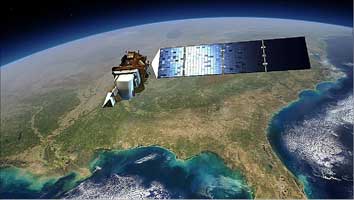
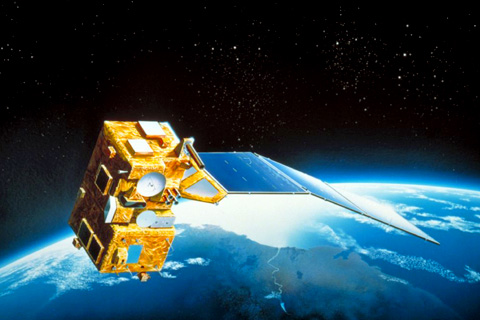
Landsat-7
The Landsat Enhanced Thematic Mapper Plus (ETM+) instrument was introduced with Landsat-7. ETM+ data cover the visible, near-infrared, shortwave, and thermal infrared spectral bands of the electromagnetic spectrum. More...
Landsat-8
Landsat-8 carries the Operational Land Imager (OLI) and the Thermal Infrared Scanner (TIRS). More...
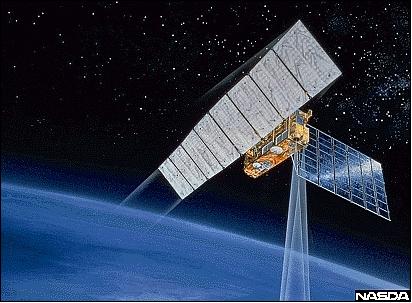
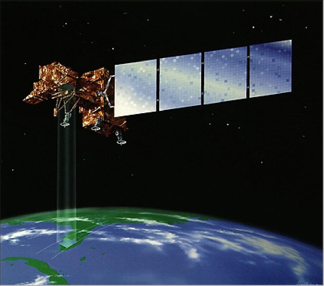
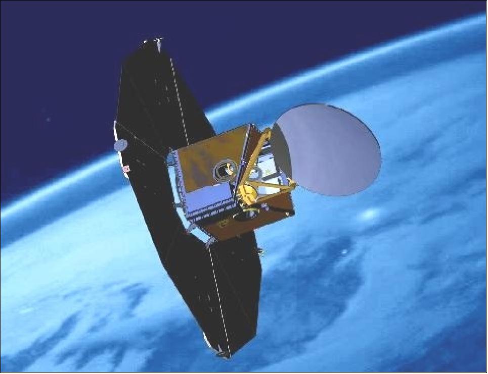
METOP
The Meteorological Operational satellite programme (MetOp) is a European undertaking providing weather data services to monitor the climate and improve weather forecasts. More...
MOS-1A/1B
The Marine Observation Satellite (MOS) Constellation, made up of MOS-1A and 1B, were Japan's first marine observation satellites, owned and operated by the National Space Development Agency of Japan (NASDA), now JAXA. More...
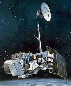
POES
NOAA Polar Operational Environmental Satellites (POES) AVHRR data is included in the ESA TPM collection. More...
NovaSAR-1
NovaSAR-1 is a technology demonstration mission intended to validate the performance of S-band Synthetic Aperture Radar (SAR). More...
OceanSat-2
OceanSat-2 (a follow-on of IRS-P4/OceanSat-1) was an Indian Space Research Organisation (ISRO) mission focused on oceanography and sea-ice monitoring, surface winds and ocean surface strata, ocean colour, suspended sediments, atmospheric aerosol, etc. More...
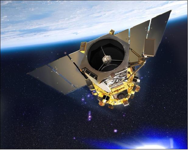
Odin
Odin is a minisatellite mission led by Sweden, with Canada, France and Finland as partners. The mission objectives include astronomy, aeronomy applications, and atmospheric research. More...
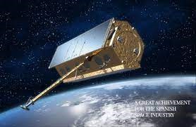
PAZ
The PAZ satellite is owned and operated by Hisdesat. It carries a high-resolution X-band Synthetic Aperture Radar (SAR) and provides imagery for both civilian and defence applications. More...
PlanetScope
The PlanetScope satellite constellation consists of multiple launches of groups of cubesats (DOVE and SuperDove) in order to image nearly all of Earth's land every day. More...
Pleiades-1A/1B
Pleiades is a two-spacecraft constellation of CNES, introducing advanced technologies in EO and delivering very-high-resolution optical imagery. More...
Pleiades Neo
Pleiades Neo is a four-satellite very-high-resolution constellation of Airbus Defence & Space. More...
PROBA-1
The PROBA-1 mission was originally an ESA technology demonstration mission, started in mid-1998 and funded within the frame of ESA's General Support Technology Programme. More...
QuickBird-2
QuickBird-2 was a very-high-resolution commercial Earth-imaging satellite. More...
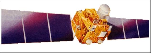
RADARSAT-1
RADARSAT-1 was Canada's first commercial EO satellite and was developed to monitor the planet's natural resources and environmental changes. More...
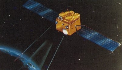
RADARSAT-2
RADARSAT-2 is a jointly funded satellite mission of CSA and MDA, representing a Canadian government/industry partnership in a commercial venture. More...
RapidEye
RapidEye was a constellation of five identical satellites owned and operated by Planet, launched on 29 August 2008. The constellation was deactivated on 31 March 2020 but Planet still offers a data archive. More...
ResourceSat-1
ResourceSat-1, also known as IRS-P6, was an EO mission in the Indian Remote Sensing Satellite (IRS) series of the Indian Space Research Organisation (ISRO). More...
ResourceSat-2
ResourceSat-2, also known as IRS-R2, is an environmental satellite of the Indian Space Research Organisation (ISRO) that provides data for natural resources management, agricultural applications, forestry, etc. More...
SAOCOM
The SAOCOM (Satelite Argentino de Observacion Con Microondas) satellite series is Argentina's polarimetric L-band SAR constellation of two spacecraft (SAOCOM-1A/1B), operated by CONAE (Comision Nacional de Actividades Espaciales). More...
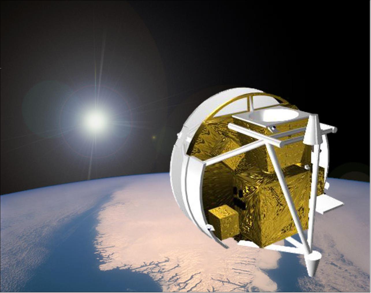
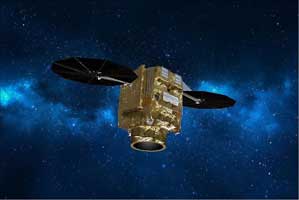
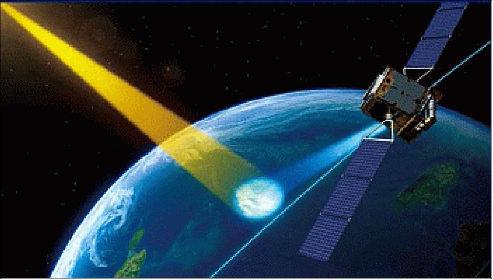
SciSat-1
SciSat-1 is a CSA atmospheric science mission carrying the Atmospheric Chemistry Experiment-Fourier Transform Spectrometer (ACE-FTS) and the Measurement of Aerosol Extinction in the Stratosphere and Troposphere Retrieved by Occultation (MAESTRO) instrument. More...
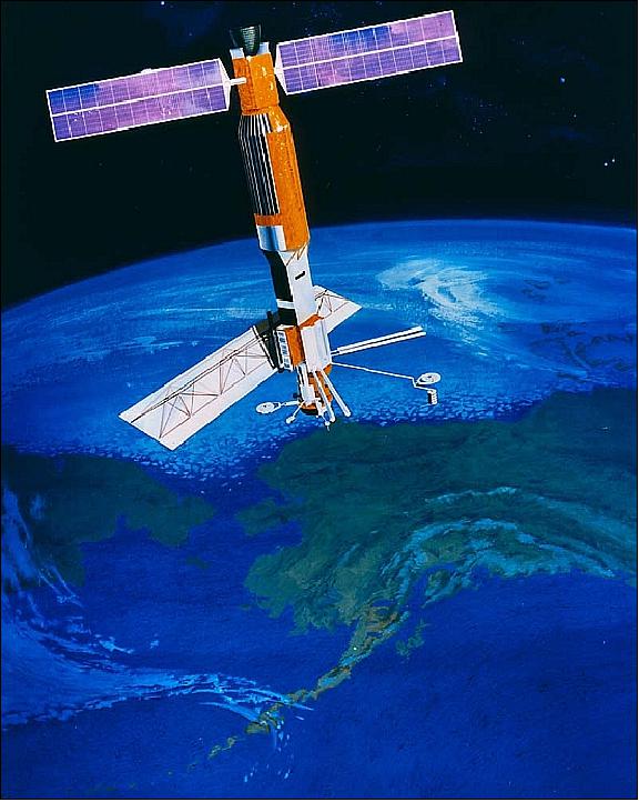
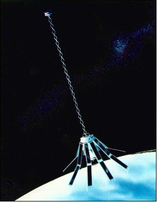
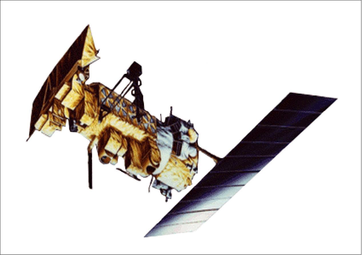
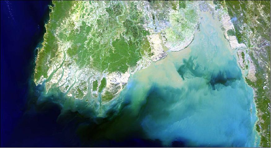
SeaSat
SeaSat was a NASA/JPL experimental EO mission launched in 1978 that carried the first space borne SAR to collect information about the oceans. More...
SkySat
SkySat is a constellation of high-resolution Earth imaging satellites owned and operated by the company Planet. More...
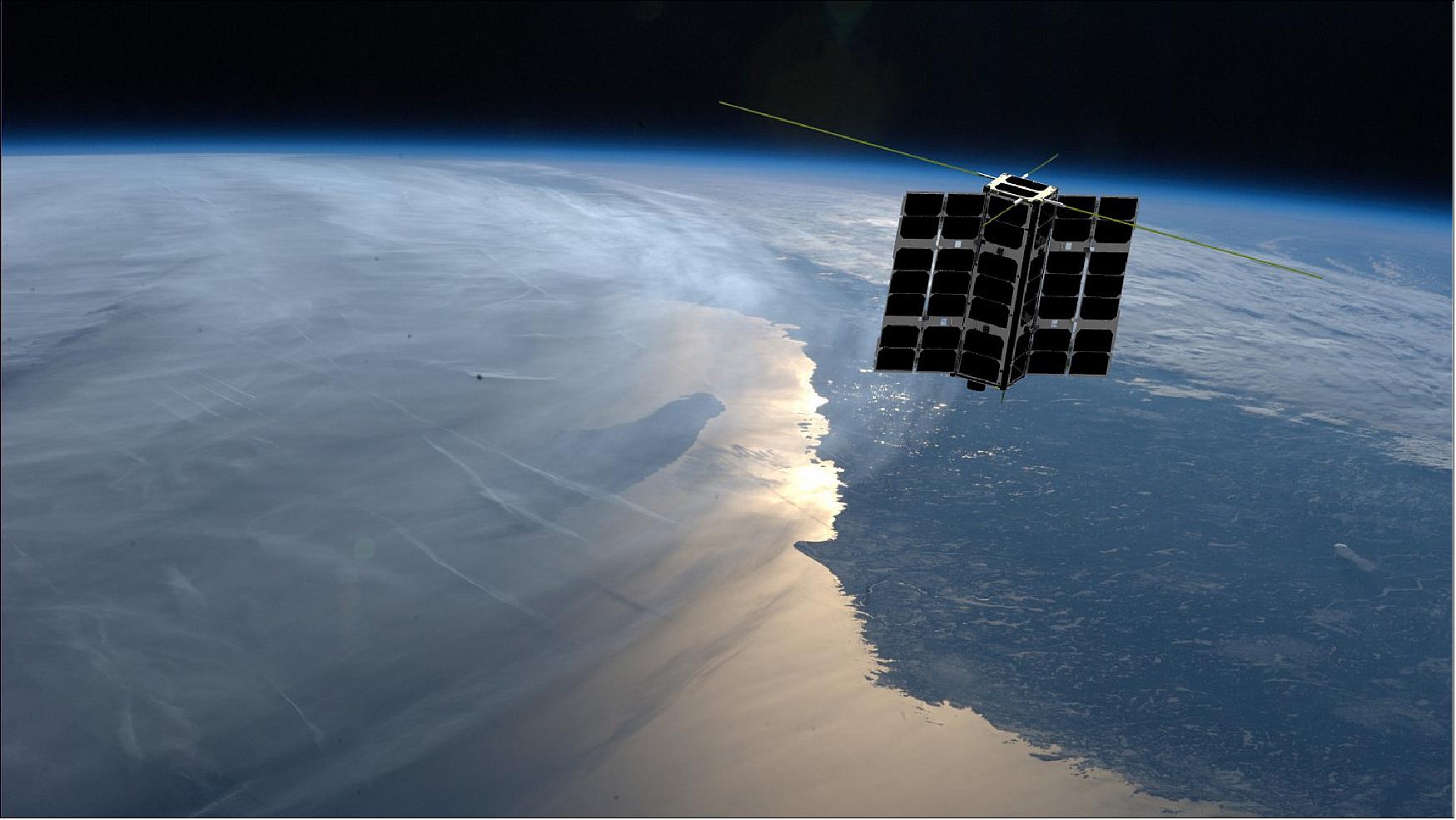
Spire
The Spire constellation is composed of more than 160 LEMUR nanosatellites. Each satellite has a multi-instrument payload to collect global radio frequency data and deliver it in near-real-time. More...
SPOT 1,2,3
The SPOT satellites were used for cartography, land surface, agriculture and forestry, civil planning and mapping, digital terrain models, environmental monitoring and coastal applications. More...
SPOT 4
In March 1998, SPOT 4 joined the SPOT family, bringing with it new capabilities, including the VEGETATION instrument and upgraded HRV imagers (HRVIR). More...
SPOT 5
In May 2002, SPOT 5 was added to the SPOT family, offering enhanced capabilities due to its improved resolution. It sought to provide an ideal balance between high-resolution and wide-area coverage. More...
SPOT 6
SPOT 6 is a commercial Earth-imaging satellite owned and operated by Airbus Defence and Space. It improves on the imaging capacity of its predecessors and ensures SPOT data continuity. More...
SPOT 7
SPOT 7 was identical to SPOT 6, forming a constellation together with Pleiades-1A/1B. SPOT 7 ceased operations on 17 March 2023. More...
TanSat
The TanSat mission detected and monitored carbon dioxide (CO2) in the atmosphere. It carried two instruments: the Atmospheric Carbon-dioxide Grating Spectrometer (ACGS) for near-infrared (CO2) absorption measurements and the Cloud Aerosol Polarization Imager (CAPI) for high-resolution cloud and aerosol studies. More...
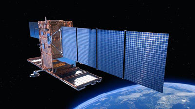
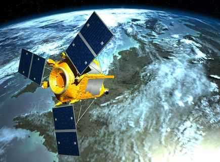
TerraSAR-X
TerraSAR-X is a German SAR satellite mission. It provides multi-mode and high-resolution X-band radar data available for a wide variety of applications. More...
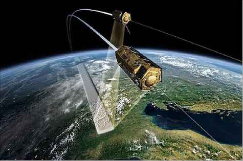
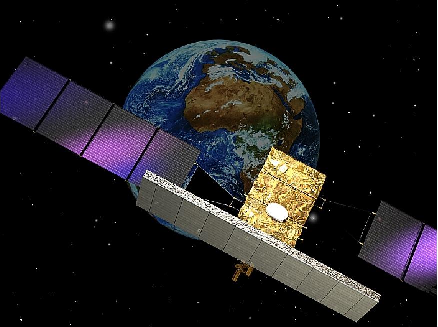
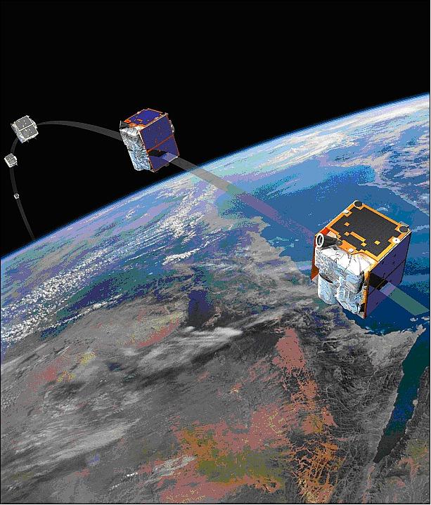
TanDEM-X
Flying in close formation with TerraSAR-X, TanDEM-X is a nearly identical companion satellite that had the main objective of creating a precise 3D map of the Earth's land surfaces. More...
Unseenlabs
Unseenlabs is a commercial company that operates a constellation of nanosatellites for maritime domain awareness. More...
Vision-1
Vision-1 is a high-resolution optical satellite, which provides data particularly suited for defence, security, maritime and agriculture applications. More...
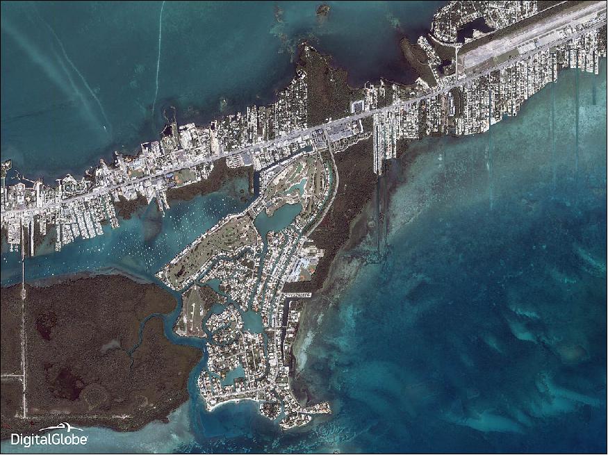
WorldView-1/2/3/4
The WorldView series consisted of four high-resolution commercial Earth imaging satellites owned by Maxar, with the objective of meeting the growing commercial demand for high-resolution satellite imagery. WorldView-4 ended its mission in 2019, while the rest of the satellites remain operational. More...
WorldView Legion
WorldView Legion is a constellation of high-resolution commercial satellites developed by Maxar to provide continuity to the previous series of WorldView satellites. More...